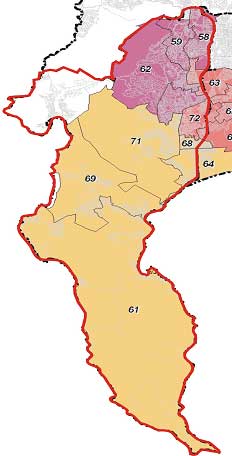
This Plan will do the following in Hout Bay:
- Highlight significance of the valley – its role in the metro
- Identify & confirm the urban & coastal edge (with associated management guidelines)
- Identify the river corridor
- Identify other urban growth informants (eg. infrastructure constraints, areas of heritage value, etc)
- Identify significant land suitable for development
- Identify priority areas in need of local area planning intervention
- Confirm hierarchy of road network (related to public transport provision) and appropriate development associated with this network
|
 |

